By
What the infrastructure bill means for the SFMTA
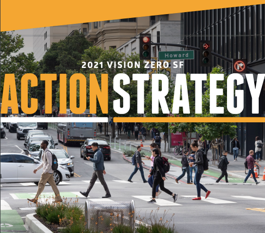
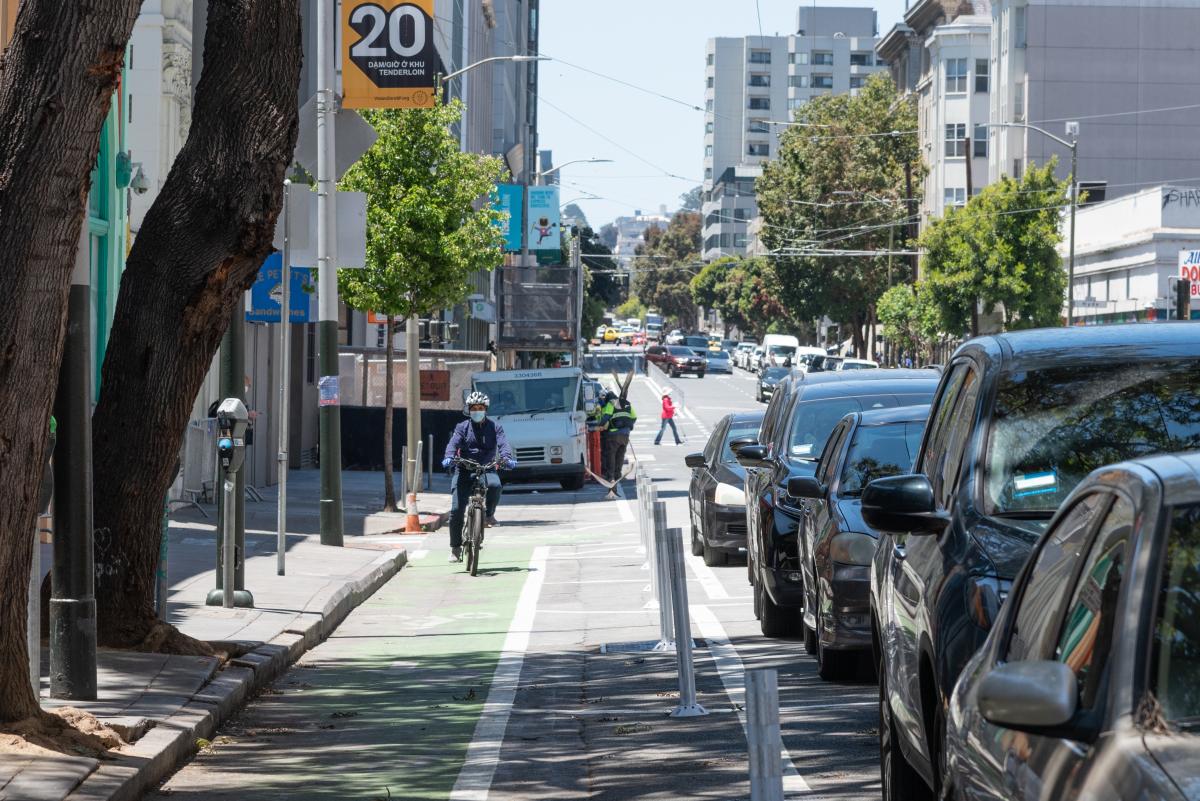
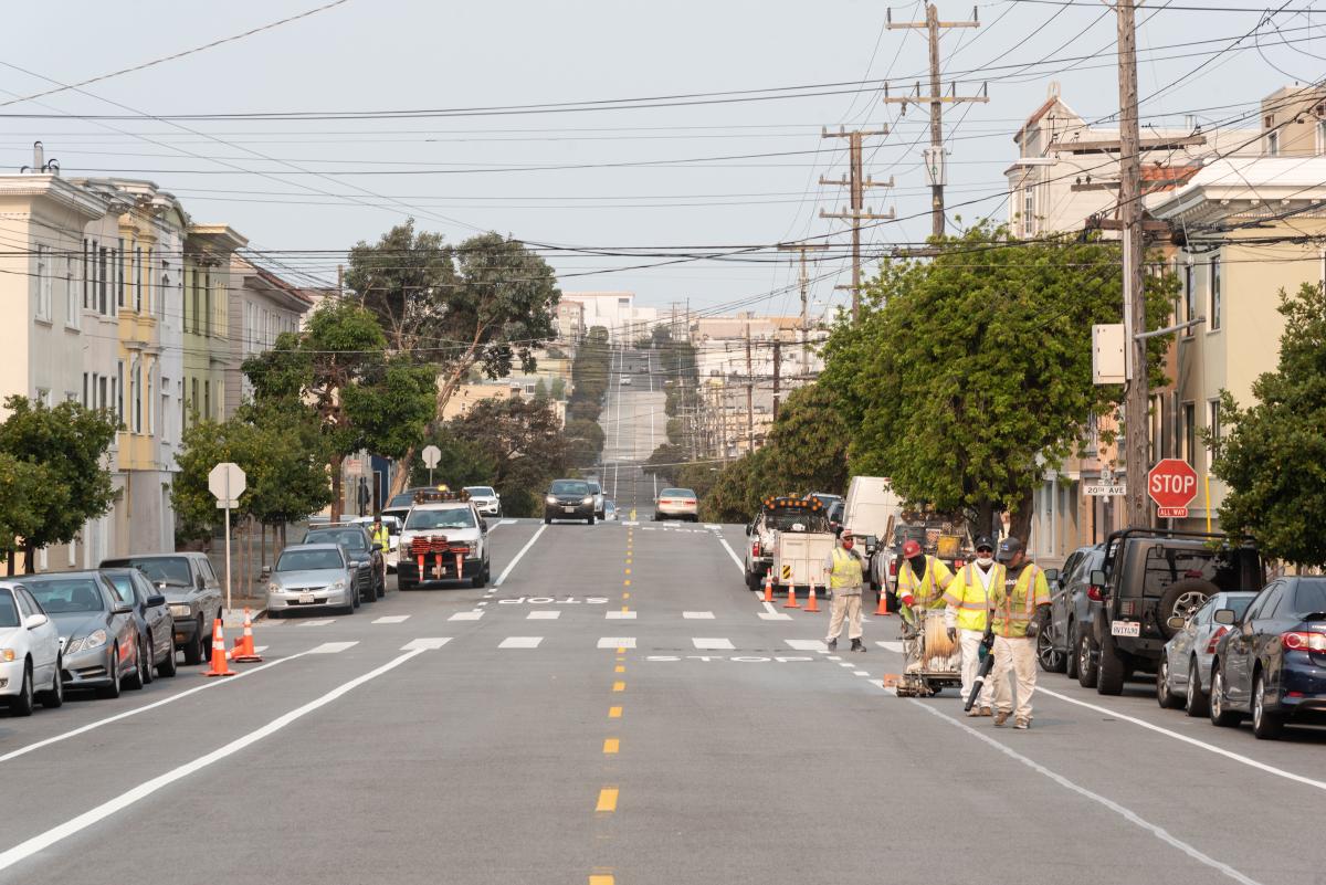
On December 20, Speaker of the House Nancy Pelosi joined Mayor London Breed and US Representative Mark DeSaulnier to promote the Infrastructure Investment and Jobs Act that was signed into law in November. They held an event at the corner of Second and Howard Streets to explain how the bill will benefit California and show the type of street improvements it can pay for to improve pedestrian safety. These include things like wider sidewalks, protected bike lanes, transit boarding islands and ADA-compliant curb ramps. It’s through these types of improvements that San Francisco will be able to reach its goal of eliminating traffic fatalities.
The Metropolitan Transportation Commission (MTC), which coordinates Bay Area transportation financing, estimates that the infrastructure bill will provide about $4.5 billion in funding to the region over the next five years via formula funds that the MTC allocates. This is $1.1 billion more than was available than during the last five-year funding cycle.
The MTC will decide how to divide up the infrastructure bill formula funds among Bay Area transit agencies. It can go toward State of Good Repair needs such as fleet replacement and rehabilitating cable cars and historic streetcars. It can also be used to fund “guideway” needs like replacing rails and overhead cables. If the MTC follows its historic pattern of formula funding distribution, the SFMTA can expect 27% more in additional funds for Fleet Replacement and 49% more in additional funds for Fixed Guideways than during the last funding period.
The infrastructure bill also includes about $140 billion in competitive grant funding that will be administered throughout the country by the U.S. Department of Transportation. The SFMTA is in a good position to compete for these funds, which are available for capital investments; low-emission and no-emission vehicles and infrastructure; and safe streets projects like the one that was highlighted at Speaker Pelosi’s Dec. 20 event. But, since these funds are available through a competitive process, nothing is guaranteed. For example, the safe streets funding is the first nationally competitive program of its size, so we anticipate that competition for it will be strong.
As great as it is that the SFMTA and other transit agencies will receive extra funding through the infrastructure bill, it’s not enough money to eliminate all the agency’s financial needs. The infrastructure bill doesn’t provide any funding at all for operating expenses, which increase every year because the cost of parts, labor, fuel and living in the Bay Area just keep going up. It also doesn’t make a sizeable dent in our State of Good Repair needs and our funding needs for major capital projects.
Additionally, almost every source of federal funding requires a match of 20% from local sources, and in many cases, it requires more than that. The federal government wants to see that local policymakers prioritize the transportation needs the feds are being asked to support. This is where the Muni Reliability and Street Safety General Obligation Bond proposed for the ballot in June 2022 comes in. It could be a source of local matching funds for some of the federal funding the SFMTA is going to apply for. GO Bond funding could also support projects that the infrastructure bill is less likely to fully fund, such as facility replacement.
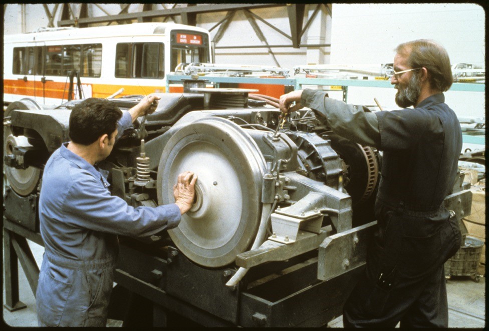
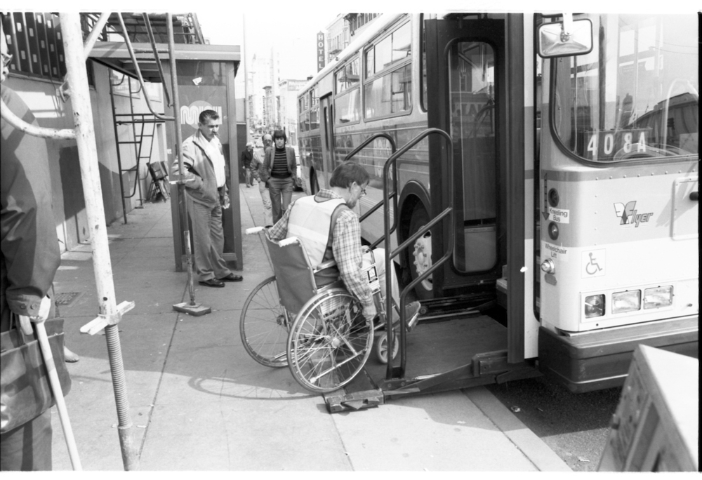
While funding facilities may not be as exciting as funding zero-emissions buses, the two are inextricably linked. Several SFMTA facilities will need to be fully replaced to be able to store and charge the new buses once we transition completely to battery-electric buses. Upgrading our facilities is also essential to providing a safe and healthy working environment to our staff. Some of our facilities are so old that they don’t have heat and aren’t ready for a major earthquake. Providing our staff with safe working conditions is crucial for the functioning of transportation in San Francisco.
Published December 30, 2021 at 08:30AM
https://ift.tt/3mHFUM0

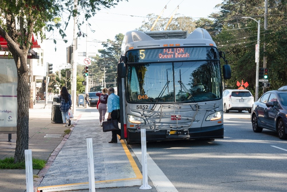 A temporary transit bulb was recently installed at 8th Avenue and Fulton, reducing travel time for the 5 Fulton and 5R Fulton Rapid and making boarding safer.
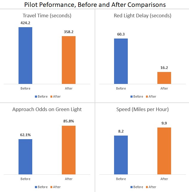
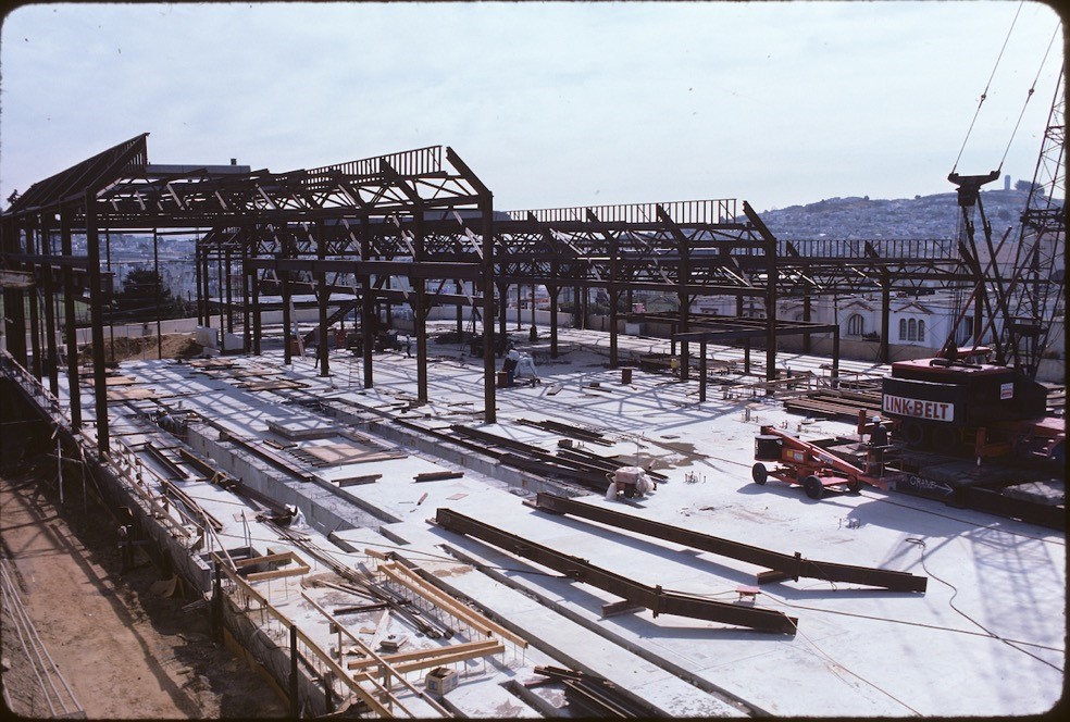
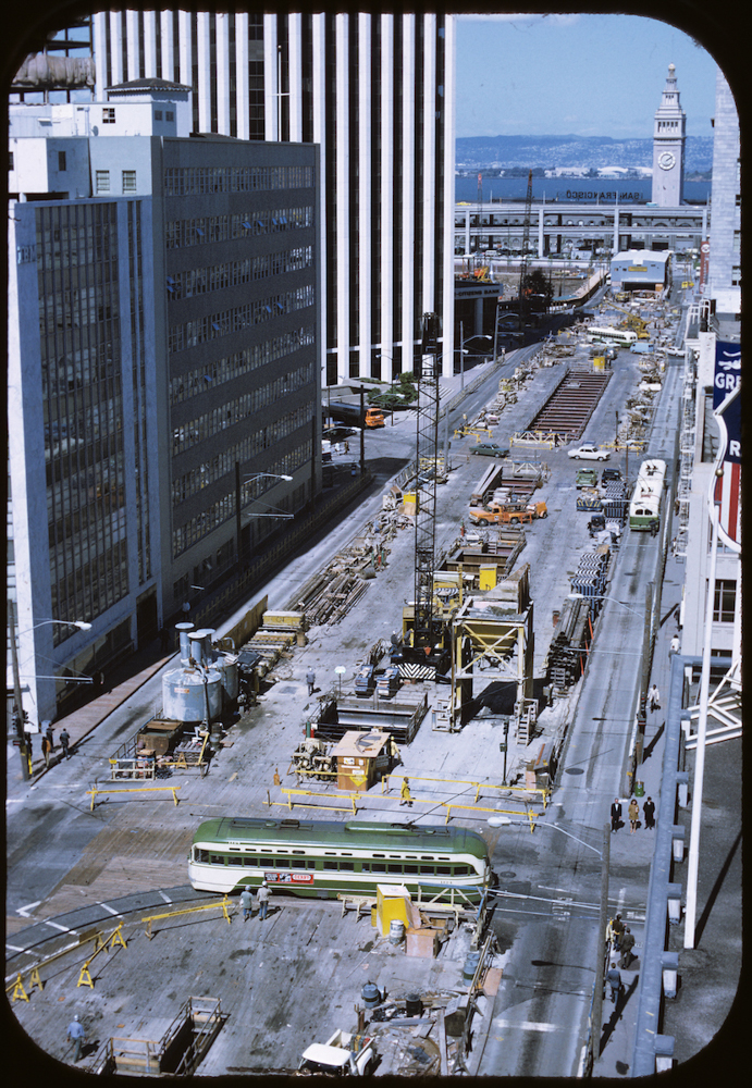
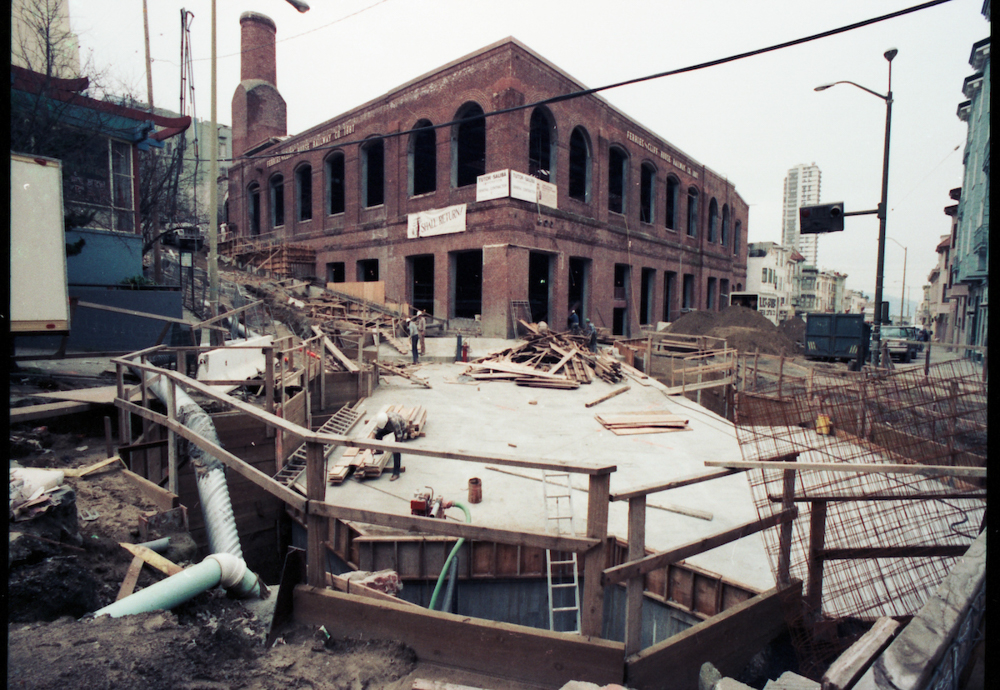
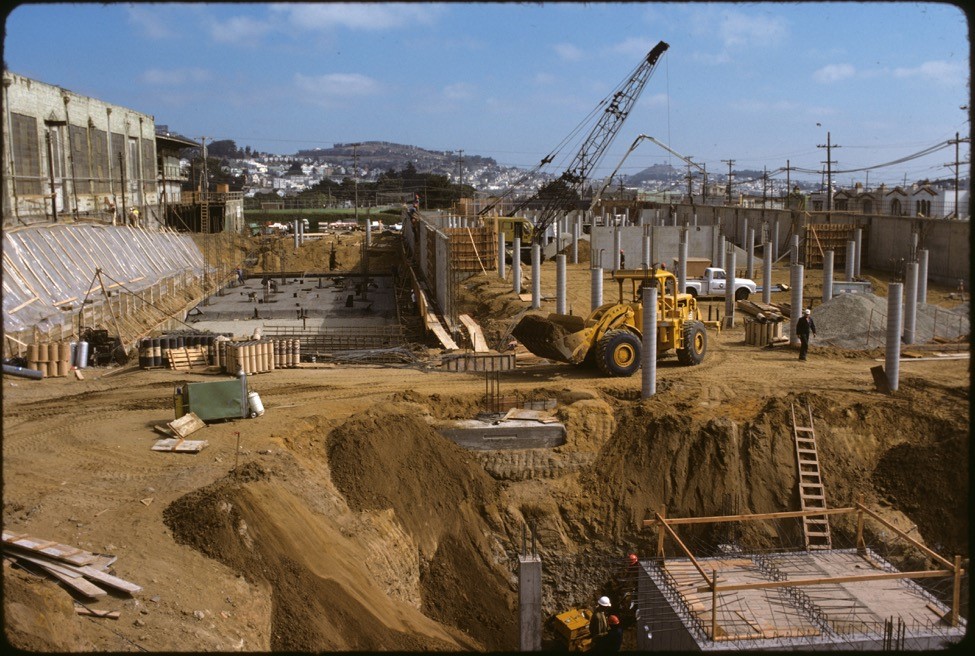 This 1976 photo shows major excavation and concrete work underway for the main shops building of Green Division. At far left is Elkton Shops built in 1907 by the United Railroads Company.