By Shayda Haghgoo
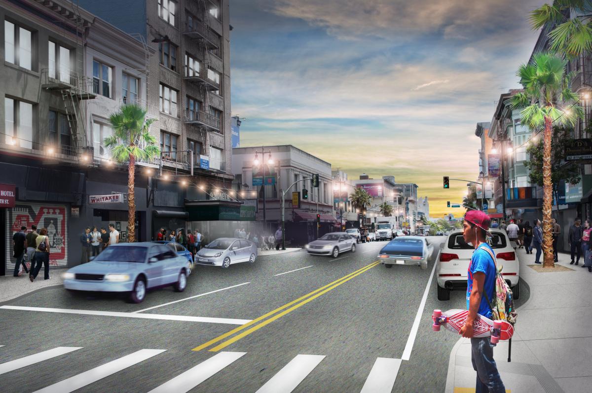
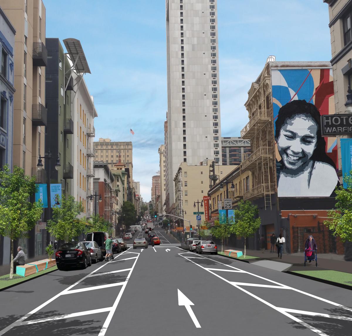
Rendering of 6th Street between Market and Howard Streets
When planning for new projects in Downtown San Francisco, the SFMTA must look at potential sites through multiple lenses:
-
How did previous planning decisions that funnel traffic through the Tenderloin to freeway onramps in SoMa influence existing street conditions?
-
How can we leverage quick-builds and capital streetscape projects now to make the streets safer not only today, but far into the future as well?
This dual-pronged approach allowed the SFMTA to address immediate safety issues along 6th and Taylor streets while collaborating with San Francisco Public Works to bring capital improvements to these corridors.
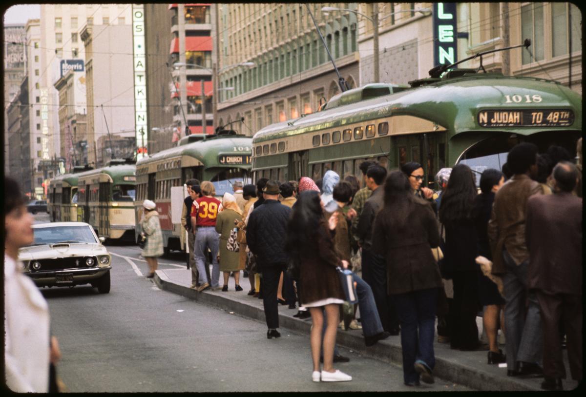
6th and Taylor streets are among the 13% of city streets that account for 75% of severe traffic injuries and fatalities known as the Vision Zero high-injury network. The communities that live along these corridors largely consist of seniors, children, people with disabilities, limited English proficient people, and lower-income families—all of whom face higher risks of traffic collisions resulting in injury and/or death.
Both the 6th Street Pedestrian Safety and Safer Taylor Street projects were legislated in the fall of 2018. Within a year, the SFMTA constructed its first quick-build improvements along 6th and Taylor streets to address critical pedestrian safety needs. These included:
-
Travel lane reconfigurations to calm traffic and limit last minute lane changes
-
Signal changes and left-turn restrictions to manage traffic flow and reduce collisions
-
Curb management and buffered parking lanes to prioritize passenger and commercial loading zones
-
Painted safety zones and daylighting to slow fast turning vehicles and improve visibility of people walking
These changes reduced opportunities for conflict between motorists and sidewalk users while accommodating the community’s various street usages. After implementation, evaluation showed a 21% decrease in vehicle speeds on average along 6th Street, and a 100% reduction in double parking along Taylor Street. Larger capital projects take time to design and bid, but the SFMTA did not have to compromise on street safety. The quick-build improvements were installed while the projects’ construction-heavy streetscape elements were still being refined.
 Rendering of Taylor Street between Turk and Ellis Streets
While quick-builds address many of the immediate traffic safety needs, capital streetscape improvements like signal upgrades and landscape amenities will improve the quality of life by allowing protected and dedicated crossing times for people walking and creating inviting spaces. Many downtown residents live in small quarters like single-resident occupancy (SRO) properties, often with little to no outdoor space. The sidewalks along these corridors often function as an extension of people’s homes. Widening the sidewalks will enhance the space and allow a clear path of travel, especially for those using mobility devices, like wheelchairs.
Capital improvements also allow for more possibilities to incorporate community elements and identity. 6th Street is part of the Filipino Cultural District, and both 6th and Taylor streets are part of the Transgender District, the first legally recognized transgender district in the world. Throughout the detailed design phase, we have been working closely with local groups such as SOMA Pilipinas and The Transgender District to implement community-identifying decorative crosswalks. These improvements will build off the previous quick-build work to further enhance safety and livability for people walking along these corridors.
Since fall 2018, the SFMTA and Public Works teams have been diligently designing construction plans that include sidewalk widening with corner bulb-outs to shorten crossing distances and reduce speeds of turning vehicles, new and upgraded utilities and traffic signals and streetscape amenities such as new trees, benches, and decorative crosswalks.
These project elements will continue to enhance the walking, biking, shopping, and living experiences of the 6th and Taylor Street communities. Due to unique issues below street level involving utilities and sub-sidewalk basements along the project corridors, these projects will require extensive construction.
While the SFMTA led the planning and legislation processes of these projects, we will be handing the baton to San Francisco Public Works to manage implementation and construction communication. As construction begins, both agencies will continue to reach out to the community to minimize disruption to merchants, residents, and visitors along 6th and Taylor streets. For more information, please visit SFMTA.com/6thSt and SFMTA.com/Taylor.
Published July 30, 2021 at 05:23PM
https://ift.tt/3rNZt6L